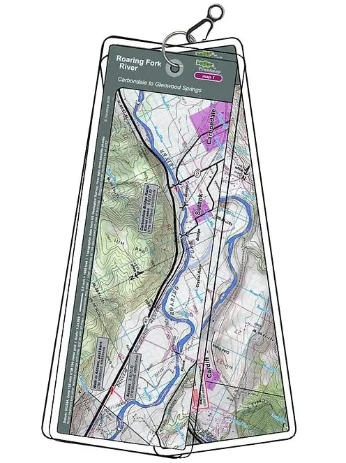
Description
Carbondale to Glenwood Springs
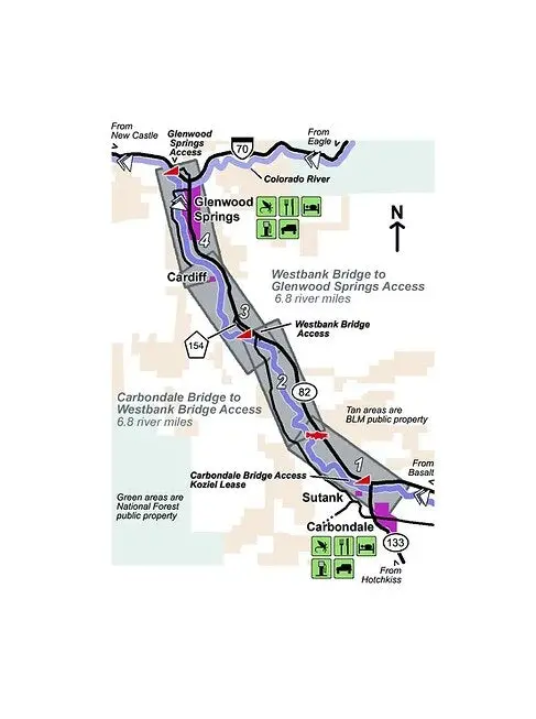
The set of maps follows Colorado’s Roaring Fork river for 13.6 miles from Carbondale to Glenwood Springs. The Roaring Fork is a meandering river conducive to drift boats, with one rapid, and is designated as Gold Medal Water.
4 river maps and an area maps
Product Info:
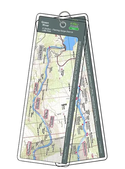
- Laminated and waterproof maps that follow the river channel.
- Individual maps are secured with a stainless steel split ring, and includes a snap hook that allows clipping to a cable retractor on waders or boat.
- Cable retractor is not included
- River features such as rapids, boat ramps, access points, and campgrounds are clearly shown.
- Each map set contains an area map showing the general location of fly shops, shuttles, lodging, fuel and places to eat.
- Approximate size: printed map: 3-3/8 inches by 10-1/4 inches; laminated page: 3-3/4 inches by 10-1/2 inches.
Reviews
There are no reviews yet.